The Uganda Open Mapping for Resilience project team have completed fieldwork in Ggaba Parish, gathering important information for the lakeside communities to highlight and analyze disaster risk. This follows up on the capacity development on open mapping for resilience methodology across Ugandan authorities.
This OpenDRI initiative has seen residents and GIS professionals collaborating shoulder to shoulder, using the technological and transparent culture of Open Data, connecting community engagement with government programming in this resource-poor setting. The free availability of these innovative tools is allowing communities a geospatial understanding of some of the risks they live with and equipping them to convey these risks to the authorities who serve them.
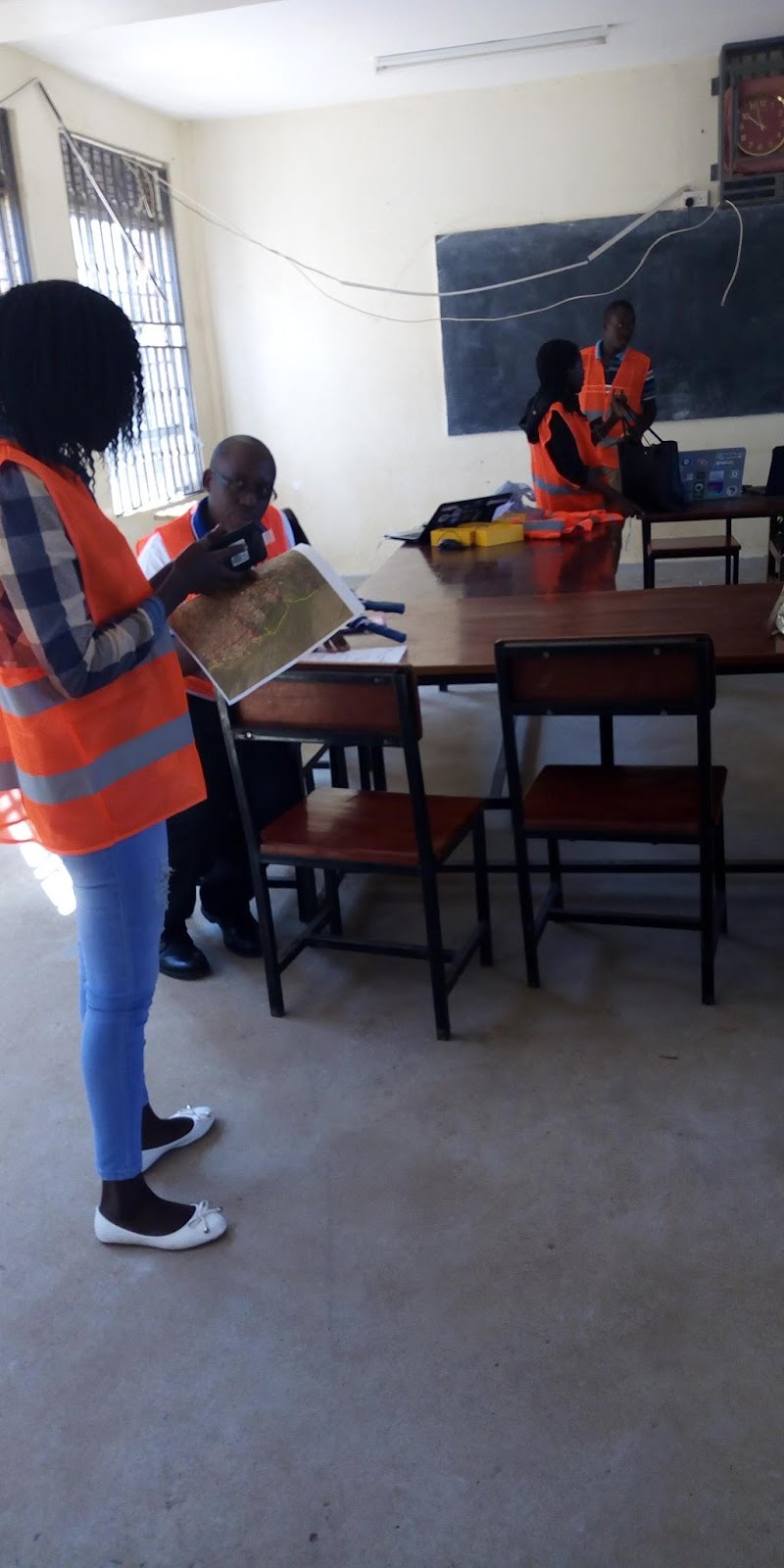
Field data management has been embedded in the heart of Ggaba, headquartered in the local secondary school.
Hazards and Resilience in Ggaba:

Ggaba is a rapidly developing neighborhood inside the perimeter of Kampala. During (increasingly unpredictable) rainy seasons, Uganda’s capital is highly prone to flooding. This photo was taken not far from Ggaba. Although dramatic, it is not unexpected.
The risks here are manifold and difficult to contain. And they usually go unseen outside the communities themselves. Informal settlements are growing across the city as Ugandans migrate to Kampala in search of government services and jobs.
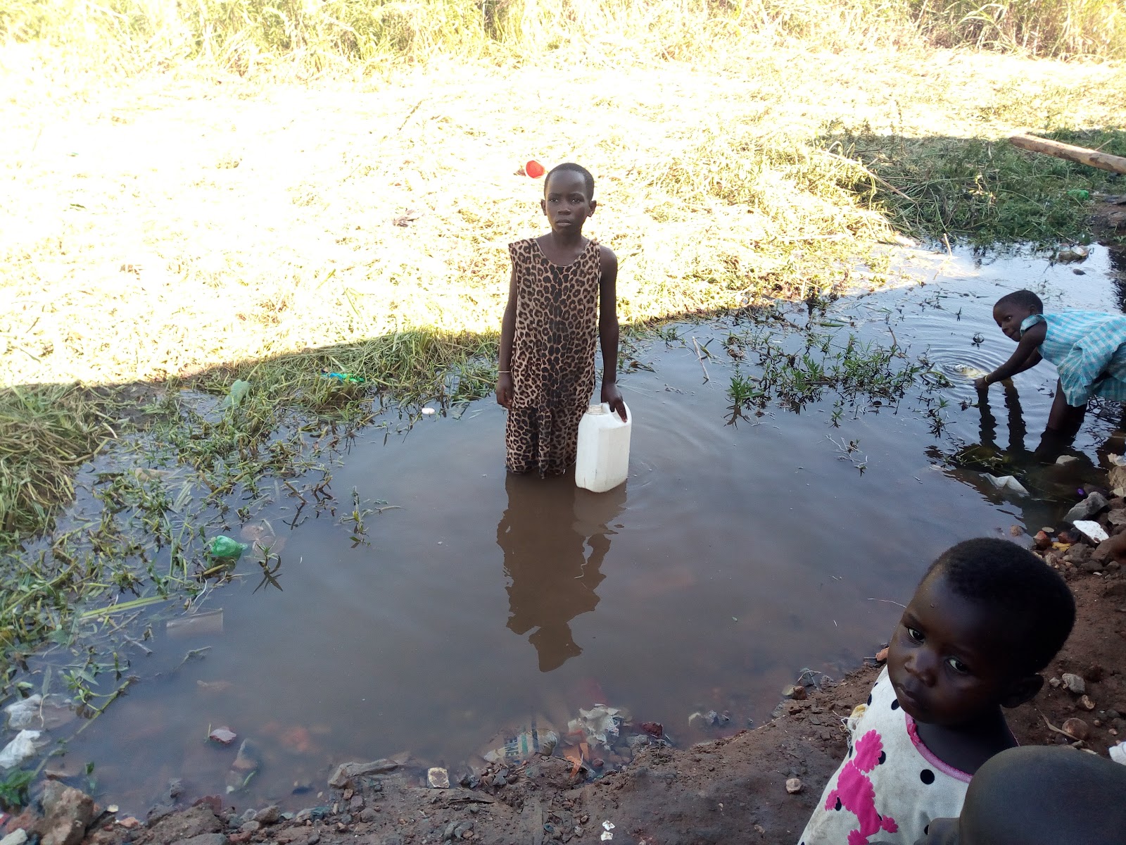
Even the more permanent and formal settlement areas of this slice of the Ugandan capital Kampala are closely arranged and often prone to fire. Cooking – commercial and household- is done on wood and charcoal, usually under grass or wooden roofs.
Disaster Risk Reduction happens on a ‘hyper-local’ basis in every household. People build their houses on legs, although they rot over time, or are eaten by termites. Even ‘damp-proof courses’ of waterproof plastic appear at spectacular heights in the walls of new-builds, to prevent the structural ingress of floodwaters.
House walls also get built higher, people hand-carry hundreds of tons of earth to raise the ground, and causeways often get built out of rubble from ruined buildings, providing ways to get about the neighbourhood every day
Data collection:
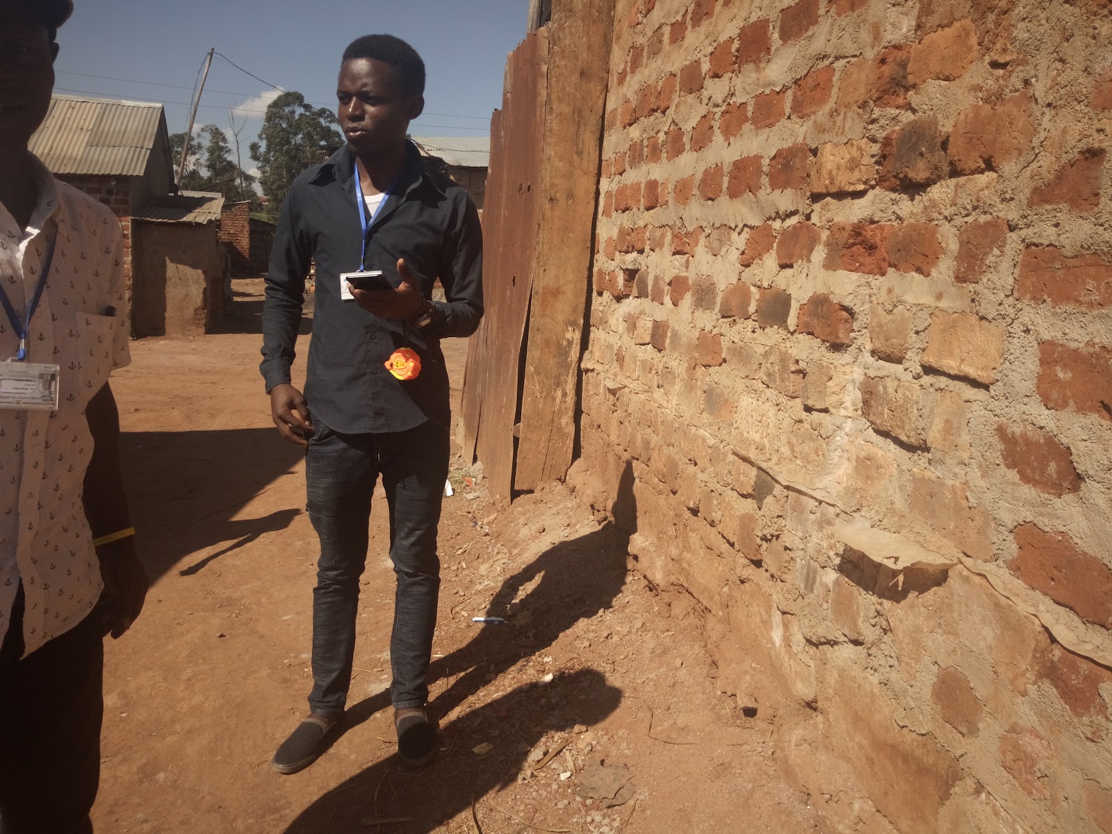
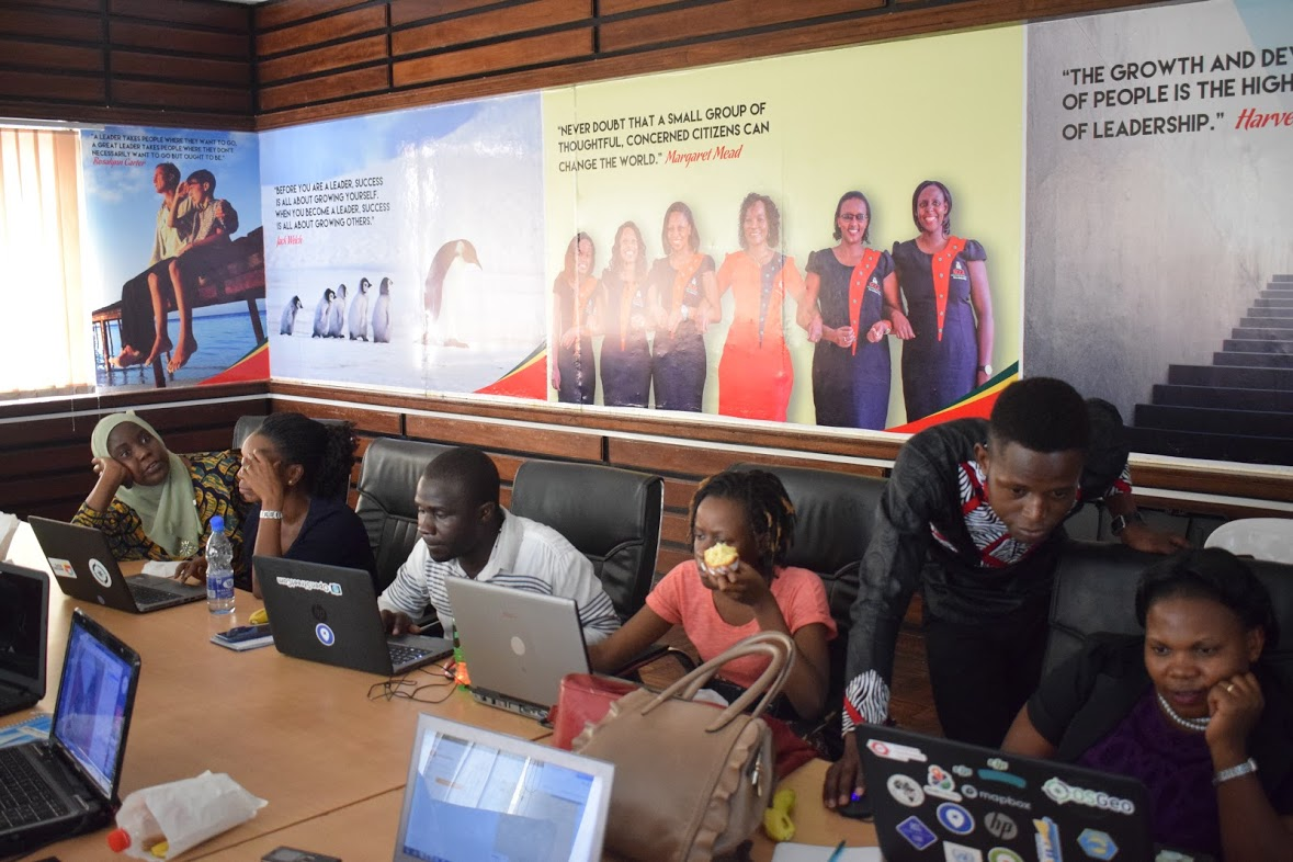
Local engagement and knowledge taught our surveying teams many things over the weeks in the field. The team, made up of participants from a broadly-mixed background, included many local community members, staff from Kampala Capital City Authority (KCCA), Uganda Bureau of Statistics (UBOS), and Office of the Prime Minister’s Department of Disaster Preparedness and Management (OPM DDPM) also joined to participate, share and learn. NGO workers and YouthMapper volunteers also joined the team.
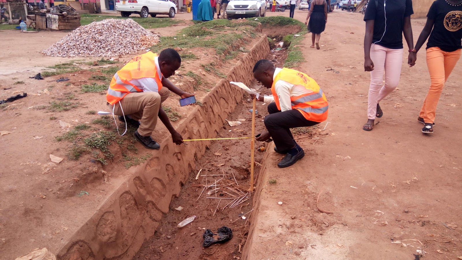
Using free Android apps OpenDataKit (ODK) and OpenMapKit (OMK), surveyors visited every building, drain, and relevant point of interest across four villages in Ggaba, collecting data on construction materials, height, use, and other relevant features. The remotely-mapped shapes of Ggaba houses, kitchens, businesses, and health centres, traced by OpenStreetMap remote mappers around the world, have now been given characteristics which can be measured, assessed, and improved.
Local Knowledge:
According to our field teams, the community cite the major cause of flooding in Ggaba to be heavy rainfall and surging water levels in Lake Victoria. Since the implementation of multiple dams on the Nile River, commercial operators on the lake acknowledge that water levels locally have risen by more than a metre. Topological data from unmanned aerial vehicles (UAV) helps to model this hazzard, and coupled with meteorological data tracking, can be used predictively and preemptively to focus interventions at a new level of resolution previously unavailable to KCCA and partners.
But flood and fire are not the only disaster hazards amongst the semi-transient population in this town which borders a lake common with Tanzania and Kenya. Resilience is seated, to a large extent, in knowledge and understanding.
People frequently have to evacuate their homes in Ggaba. Many people claim that wind, as much as localised rainfall, is more of an local flooding factor. Like hurricane surges, low-lying areas get quickly inundated from storm winds. Life has an unpredictable quality in Ggaba. But these close-knit communities pull together valiantly, and things are improvised in the community.
Local Networks:
The local character of data being collected by the team is as important to the Humanitarian OpenStreetMap Team (HOT) methodology as the local technology it leverages. Modern smartphones contain GPS hardware accurate enough for cadastral-standard and are now commonly owned and used across Uganda and the continent. This local ownership of powerful technology has been helping “Community Mapping” campaigns to express community needs for some years. MapUganda and HOT have helped develop some of these campaigns over this time, and this project channeled that experience into the training of more than twenty people to apply these techniques, giving access to an unprecedented representation of community needs.
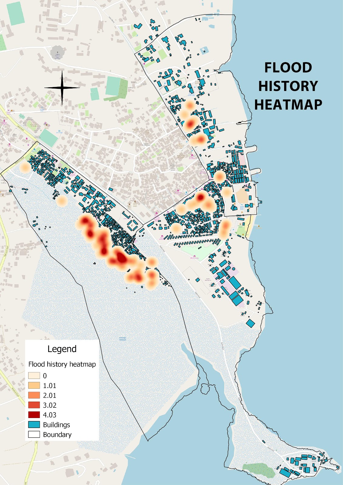
Flood history points were collected on the ground using smartphone surveys, serving as an empirical baseline to show the trends in flooding in Ggaba. Points collected were in all areas locally known to experience flooding, with depth and locations specified. Points were also taken at the edge of swamps in Katoogo that are more prone to flooding, with some sample “deep-spots” further into the flood-prone areas.

Data cleaning was collaborative work with the Office of the Prime Minister, Uganda Bureau of Statistics, Kampala Capital City Authority, and the local community (with help from the Global HOT volunteer network). It is now appearing as detailed and searchable data on OpenStreetMap. This data, publicly available online, is also packaged and given to government stakeholders for purposes of planning and development.
Flood history:
UAV/Drone Data:
Outputs such as the above heatmap were made possible by our fieldwork, but an important component of the Uganda Open Mapping Project is to collect visual and topographical data by UAV mapping. Common access to controlled and bespoke aerial data is a relatively recent occurence. The emerging possibilities arising from a combination of ground and aerial data collection are still being explored around the world. This project was an opportunity to examine how the two formats could complement each-other in the Kampala context.
A week after the field mapping, government permission to fly the UAV was finally obtained, and much was learned from the application and negotiation process. While not the ideal order, it provided a great opportunity to engage once again the government and community for a mapathon to improve data based on drone imagery. Project partners GeoGecko flew the area of interest collecting high resolution imagery. UAV imagery lends other environmental dimensions to projects such as this, particularly when coupled with ground-truthed statistics. Unforeseen narratives can become apparent which are not seen through lower resolution satellite imagery. These can highlight elements of physical and structural risk which would not be cross-associated from a ground-based perspective alone.

The imagery and 3D data collected adds context to a number of metrics:
- This is a rapidly-changing environment, and satellite imagery can be more than a year old. “Real-time” drone imagery allows us to update new structures that do not show on our satellite imagery.
- It can also allow us to identify buildings which have been dismantled/demolished since our satellite imagery.
- Currently-evolving technology includes 3D modelling/analysis to provide a view of the topography (shape of the ground), which can incorporate pinpointed field surveys from key informants about flood history in specific locations, to better model flood risk data.
The combination of these and many other references enables an overall environmental understanding of the lakeside location, where winds and rains from far away can disrupt everyday existence abruptly, leading to previously unforeseen displacement and even deaths.
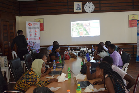
Post-Field Mapathon
The surveyors field work validated remote mapping from imagery available at the time. A new HOT Task was created to focus and guide the work, leading up to a mapathon hosted by KCCA at City Hall. There were 14 participants, spanning KCCA, UBOS, OPM, HOT, MapUganda, GeoGecko, and the Ggaba community.
Modifying data during the 2nd Phase Mapathon using UAV imagery in JOSM
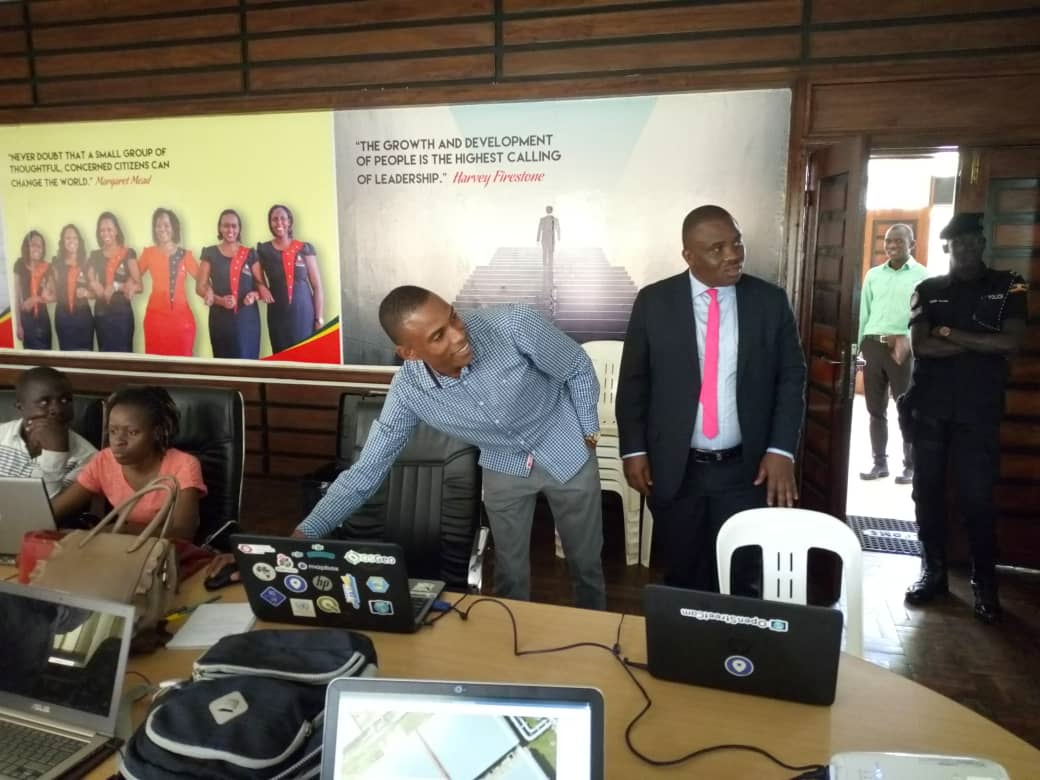
In that sesion, we were privileged to be visited the Lord Mayor of Kampala, Erias Lukwago, who is a keen fan of GIS and was impressed with the work. In his words, he expressed the concern of the Katoogo residents facing the challenges of being displaced by the wetlands.
Mappers improved the buildings and roads in OSM from the new imagery.
Beyond the mapathon, the Task facilitated crowdsourcing from mappers, volunteers, and hired personnel. Teams were actively involved in mapping and validation to provide quality baseline data that would be used by GeoGecko to produce a printed atlas highlighting the results. All OSM features in the area of interest were successfully aligned to the orthoimagery used for mapping the task.

The MapUganda Website of Uganda Open Mapping for Resilience explains project activities in Ggaba.
The MapUganda website briefly describes the project activities, aims, and goals. This supports the Uganda project website on the Open Cities Africa website.
Map information/statistics After 2nd Phase UAV Mapathon (Four Villages)
| Type | Description | Feature Count |
| buildings | All Buildings | 4014 |
| highways | All Highways | 338 |
| drainage | <canal,drain,ditch, drain_point> | 357 |
| Drain Points | <silt_trap, drain_bridge, begins, ends, etc> | 216 |
Printed Map Atlas:
Upon completion of all of the data gathering, cleaning, and analysis, it became important to share the findings with parties that can use the knowledge to make the Ggaba community more resilient to disaster hazards. OSM is by default and open and published repository, where Ugandans can immediately use and add to the information we gathered. And the reports and lessons learned are enabling KCCA, UBOS, and OPM to continue these efforts in other parts of the country.
For the local community in the Ggaba villages, many of those affected and charged with taking action are not often online. Nor do they possess the hardware and network resources for continual analysis and data communication. To help make the findings more accessible, the team developed a printed map atlas of the four Ggaba villages. The atlas will be shared with all partners in large-format A3 size, providing a tangible tool connecting their field surveying to the data that has been joined with existing OSM maps.

The cover of the printed atlas. A PDF version is available for download.
Feedback from stakeholders:
Simon Peter Okello OPM:
“The field mapping was such experience that made the team see the reality of the slum dwellers. I was shocked to map a permanent house with no access road. The data we collected is very useful in disaster response. The training prior to our field work was informative, easy, and interesting in the sense that we would go out for practicals. There should have been prior community sensitisation at door to door level, to reduce effort for the field surveyors and the community guides justifying the purpose of the field activity and security matters.”
Phiona Munezero UBOS:
“I have benefited from the project since the inception. Learning about OSM and QGIS really broadened my scope of thinking and GIS application for UBOS.
I am glad that mapping was achieved successfully. The survey form was on point, however I feel that the same information would have been effectively used by the community if it had been developed in a second language because OSM is about communities.
The building attribute is a great advantage to UBOS, we definitely using it to identify schools and hospitals in the AOI for our population statistics. The mapathon was a new concept of crowdsourcing that’s great.
Patrick Ojirot KCCA:
This was a brilliant project. It is definitely going to enhance our datasets with new updated imagery, and I was glad that the time frame of the field data collection was reasonably short. All the same it would have been comprehensive if the datasets would have not been limited to buildings, drainages, and POI. If the need was to address risk management and disaster preparedness, it would have been more advantageous to include flood points, fire prone points, and crime areas for a holistic approach. Mapping out other disasters / integration of other mapped out multi-hazard risks e.g (fire, crime, disease, accidents, etc.) that occur within Ggaba Parish and publishing them on open street map would have given the project a solid outfit..
Benefits to our organisation:
- It built capacity of a number of staff in using open street mapping/open source technologies for mapping, downloading and sharing data.
- Increased in knowledge in DRR, and built networks with other government organisations, non-government organisations, and members from different countries through workshops.
- Learnt exchanged information with members of other African countries on what disasters affect our city / their cities, where they occur, their intensity, who they affect most, and what can be done to reduce them.
- Participated in the data collection and mapathon for buildings footprints and drainage in Ggaba Parish.
Robert Kaaya, Local Council Chair (LC1) Ggaba Water: I believe the data collected for roads, buildings and drainage systems should be used for purposes of development so as to improve the standards of living in this area. I believe what we need to do is share this data with the whole community, even with those who are illiterate to benefit.
Peninah Babirye, Community Mapper, Ggaba: It was a really nice opportunity for me to be part of this project, I was able to interact with experienced people and also gained new skills and experience in terms of data collection. It also helped in learning how to approach people in the community since we were explaining to them the purpose of our field exercise. What I believe we could have done was to inform the community in advance about our field activities in addition to visits to the LCs.
Land Politics and Urban Encroachment – Findings
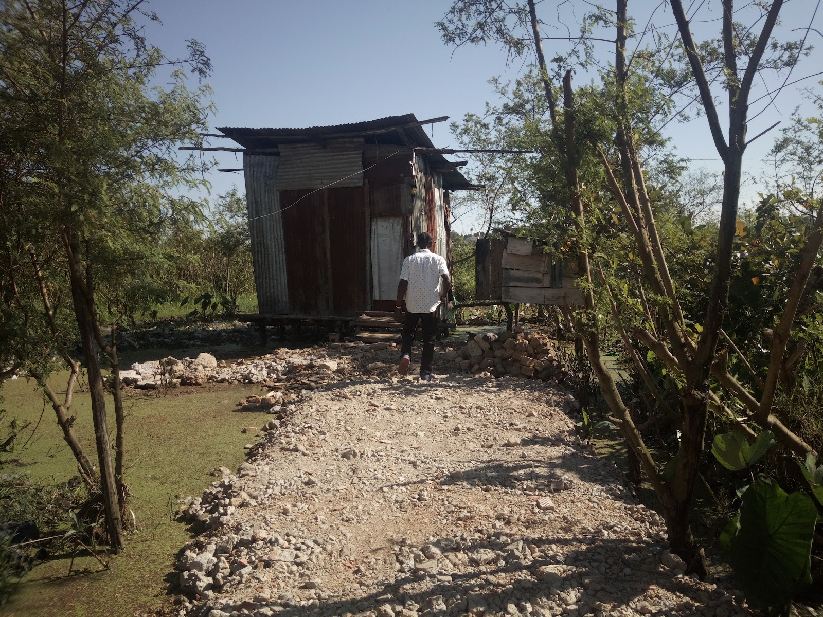
Today, the spatial inequality and segregation of African cities hides the poor, who often live on small marginal lands. Ggaba is a prime example of an urban Kampala area populated with such informal settlements. Land ownership and tenure in Kampala is complicated and slow to change, so due to long periods of under-utilization of land, encroachers can appear on these unclaimed lands. Our fieldwork gave us evidence that Ggaba was originally subject to formal planning. However, migration into the city continues, the compounded problem of land-tenure processing bottlenecks snowballs. The factor of a swelling population, scrambling for affordable land, forces people into riskier and riskier areas, which are less and less fit for habitation.
Reflections:
We in the consortium believe that space is not a container of human activity, but an active force shaping human life. Space is socially produced and therefore can be socially changed. This field exercise was to empower the stakeholders KCCA, OPM, and UBOS to come up with solutions that will reduce their risks to flood and other natural hazards. It led to many other thoughts and ideas for further projects and initiatives, deriving from the diverse combination of perspectives with which we have had the privilege to engage.